Wednesday, August 27, 2008

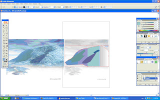
SkeTcH of AssIngMent 3


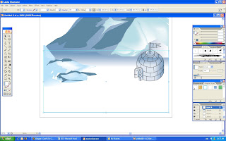
this is my sketch for the assignment 3, with a big font ''KEEP IT UP'' to encourage people continue their good work in saving the area from global warming. Also, i will keep the igloo and also the ice cap but i will try to modify and improve it. i will also add one o more igloo to make the poster merrier. the color of the ice cap and igloo will also be same,harmony but the font i will try to apply some effect like 3D and so on, the color of the text will be attractive color like purple and red. i will pay attention to the print out because last time my printout color not same with what i have done in illustrator, so i get a bad marks for that T_T.

Monday, August 25, 2008

Assignment 3--IDeAtion n refeRenCEs

Ideation: i am going to create a scene of a complete ice cap to show out that we, human have done a lot of work to save the area which influencing by the global warming. The poster that i want to create purposely encourage human to continue saving the area and also try to spread out the news to let more and more people take part in the saving area progress.Text will be insert in my poster which never done from last 2 assignment.Principle of design which i have learn in the design class will be use in in creating my poster.
THE WEB LINK that i done my RESEARCH:
http://flickr.com/photos/kellyphotos/72256225/
http://thedude.com/archives/travels/greenland/
www.chockstone.org/NZ/MtCook/MtCookJohnKDec03.htm

below are some of the poster that i have search from the internet as the references:


Monday, August 18, 2008

Final Design of Assignment


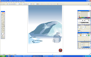
Hehe><....this is the FINAL...[THE ICE CAP]...


Last but not least, the SYMBOL that i done in the first assignment is put on the bottom right-hand corner of the image.


MESH TOOL is using to adjust all those dark areas of the ice caps. The color and shape of the dark areas if modified.


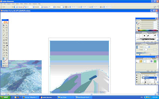
Again, create a new layer and use the RECTANGLE TOOL to form a rectangle. This rectangle represent the land of ice, the dark blue color that picked by the EYEDROPPER TOOL from the COLOR window is applied on it. The GRADIENT then set.


A new layer is create again and the small ice cap is form by using the PEN TOOL also. Like what i did before, create a new layer to draw the dark areas with PEN TOOL. The color of the small ice cap is pick from the big ice cap and also the dark area with the EYEDROPPER TOOL.


Now is the turn of sky, i create a new layer and use PEN TOOL to form a square then apply the color of sky blue on it. The GRADIENT is set as LINEAR TYPE and 270' ANGLE.


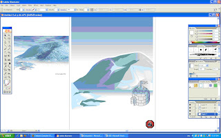
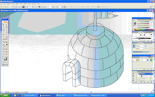
GROUP all the lines together by pressing CNTRL+G or click OBJECT then choose the GROUP. After that, choose the color light blue color on the COLOR window by using EYEDROPPER TOOL and apply it to the igloo. The GRADIENT of the igloo is set.


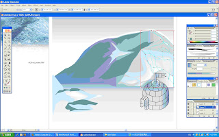
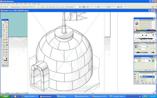
After that, i open a new layer and pasted the reference of igloo and ZOOM it(CNTRL+ '+') which help us to draw correctly then start using the PEN TOOL to draw the igloo. i also use the ELLIPSE TOOL to draw the circle part like the top of the flag and also the big base of the flag. Adjust the shape till a suitable size and position.


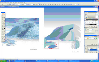
After that, i create a new layer then i use the EYEDROPPER TOOL to pick the color on the pasted image, then i apply the color on the ice cap that i drew. I apply the GRADIENT to the ice cap. Another new layer is created to draw the dark areas of the ice caps by using PEN TOOL, the color of the dark areas is done by doing the same of the previous step.


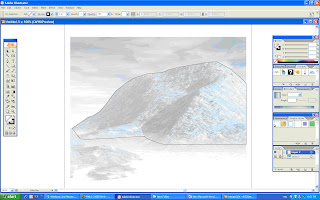
First of all, i click the VIEW to open the SHOW RULER and SMART GUIDES to help me on the later works. After that i paste the image of ice cap that i going to draw on the layer and set it as TEMPLATE(double click the layer to choose) to help me on the outline drawing, then i start using the PEN TOOL to draw the outline of the ice cap.

ReseArCh & Sketch & RefErence of assignment 2


The research that i have done on the melting of ice caps:
The area of global warming that i choose is the m
elting of ice caps. An ice cap is an ice mass that covers less than 50 000 km² of land area (usually covering a highland area). Masses of ice covering more than 50 000 km² are termed an ice sheet.Ice caps are not constrained by topographical features (i.e., they will lie over the top of mountains) but their dome is usually centered around the highest point of a massif. Ice flows away from this high point (the ice divide) towards the ice cap's periphery. Polar ice caps form because high-latitude regions receive less energy in the form of solar radiation from the sun than equatorial regions. This results in lower surface temperatures. Seasonal variations of the ice caps will take place due to varied solar energy absorption as the planet or moon revolves around the sun. Additionally, in geologic time scale, the ice caps may grow or shrink due to climate variation. See ice age, polar climate.Both of the Earth's ice caps are currently shrinking, possibly as a result of anthropogenic global warming.

The web links:
http://en.wikipedia.org/wiki/Ice_cap

http://www.thewildclassroom.com/biomes/icecaps.html
http://www.geocities.com/Yosemite/Rapids/4233/
ijsbergen.html


The Sketches:


The references and images that i used to create my work: